About Us
Our Story
Our Work
Our Impact
Our Team
Our Partners
News and Media
Contact Us
Ways to Travel
Travelers
Adult Trips
Family Trips
Women’s Trips
Private Group Trips
Activities
Hiking Trips
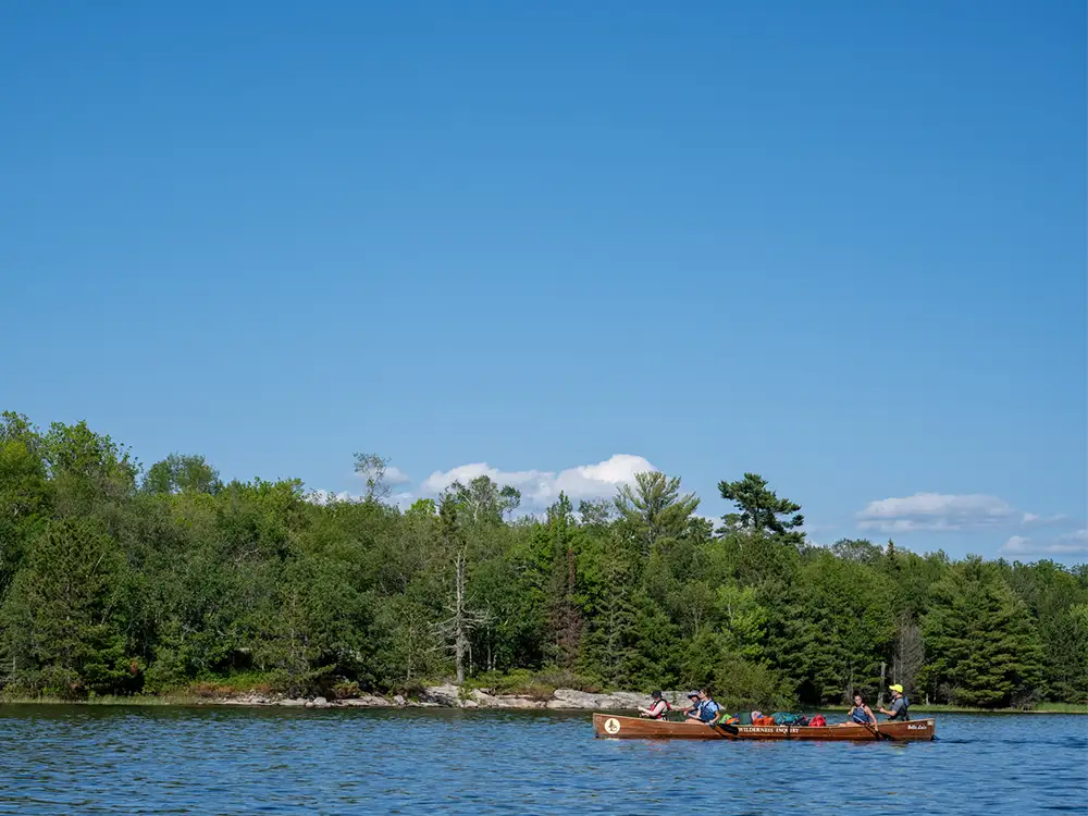
Paddling Trips
Camping Trips
Lodge-Based Trips
Specialty Trips
Trip Information
Our Travel Experience
Travel Blog and News
Traveling With a Disability
Financial Aid
Purchase Gift Cards
FAQs
Destinations
USA
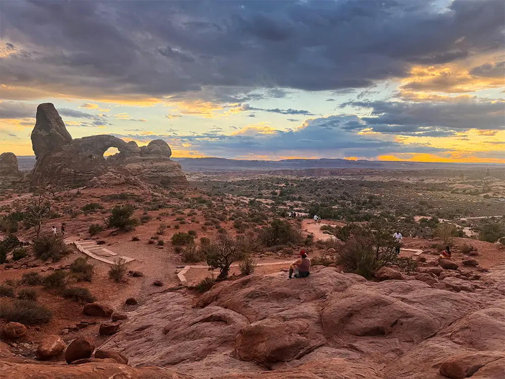
Arches and Canyonlands
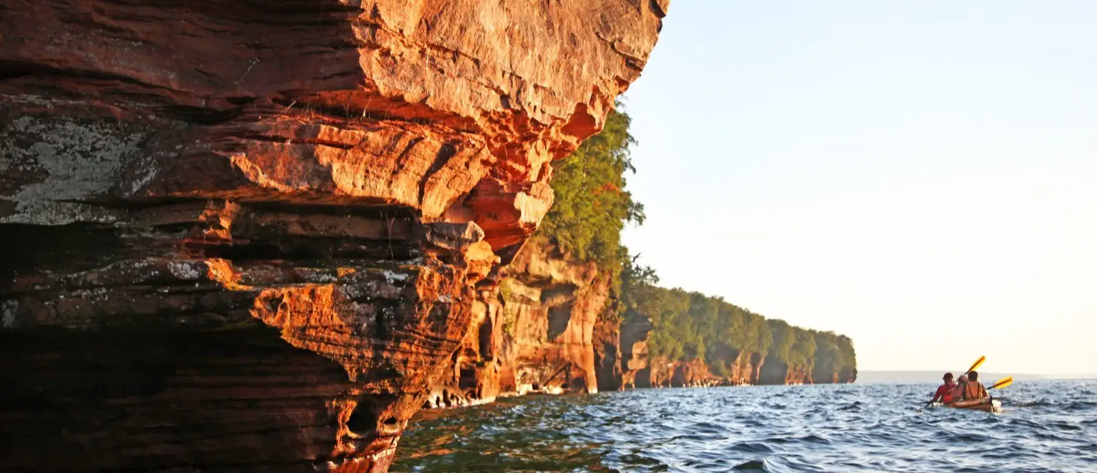
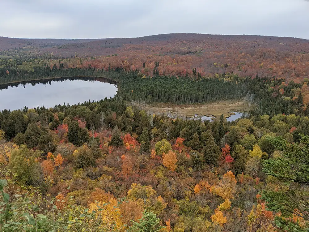
Apostle Islands
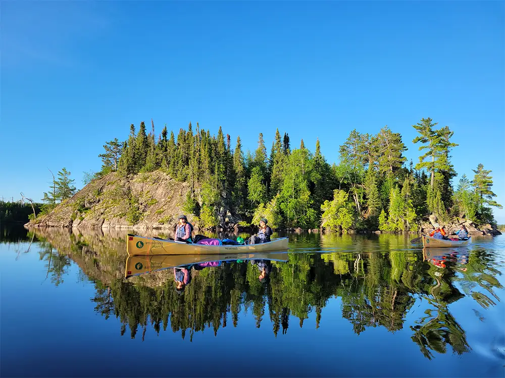
Boundary Waters
Florida
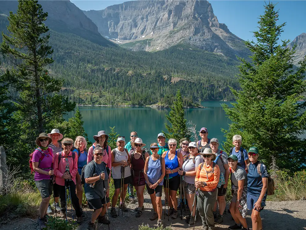
Glacier National Park
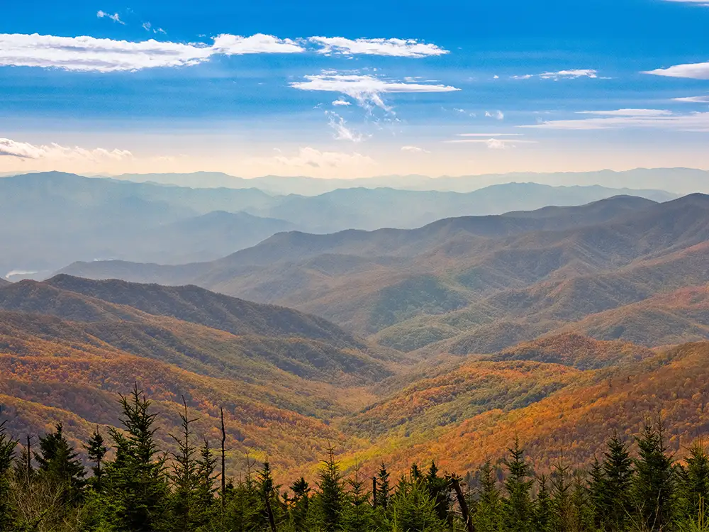
Great Smoky Mountains
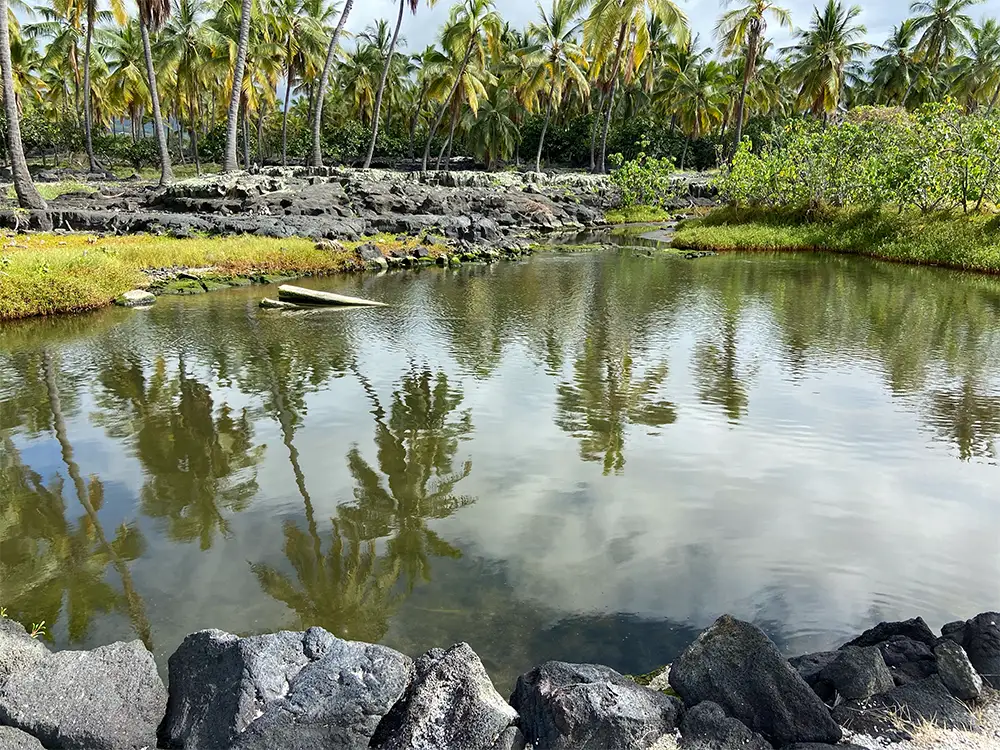
Hawaii
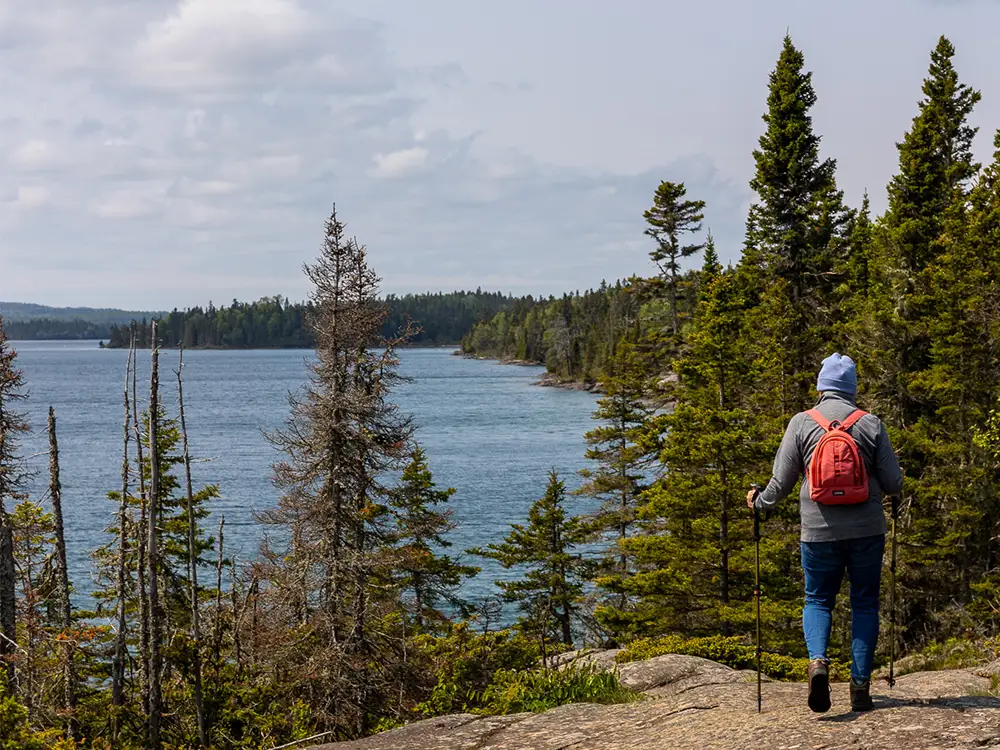
Isle Royale National Park
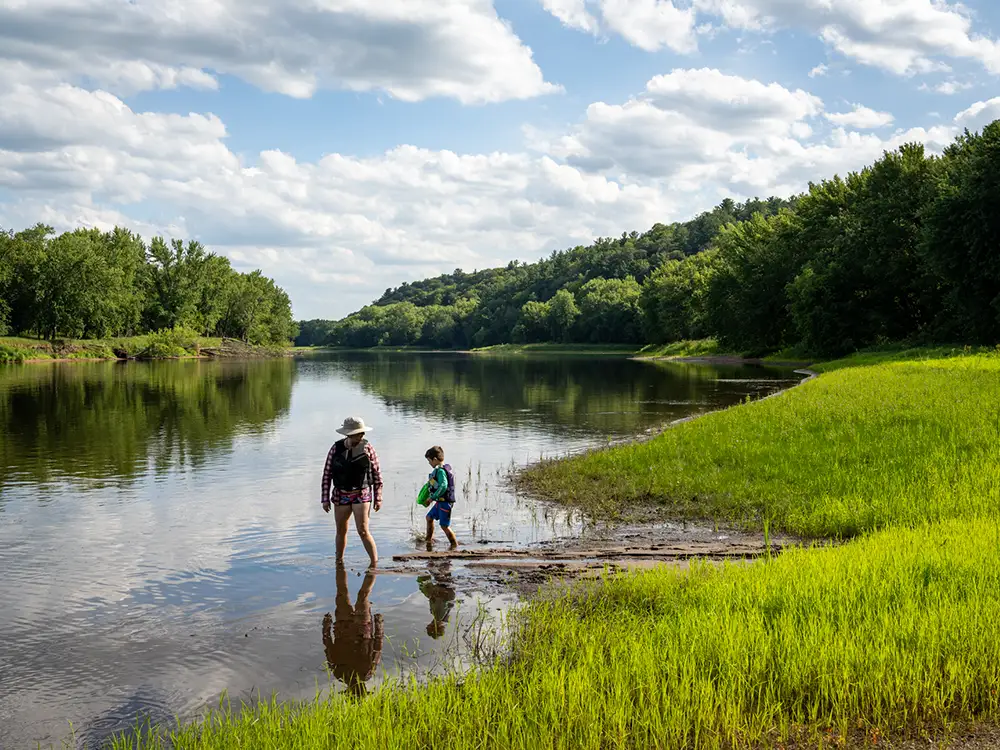
Mississippi River
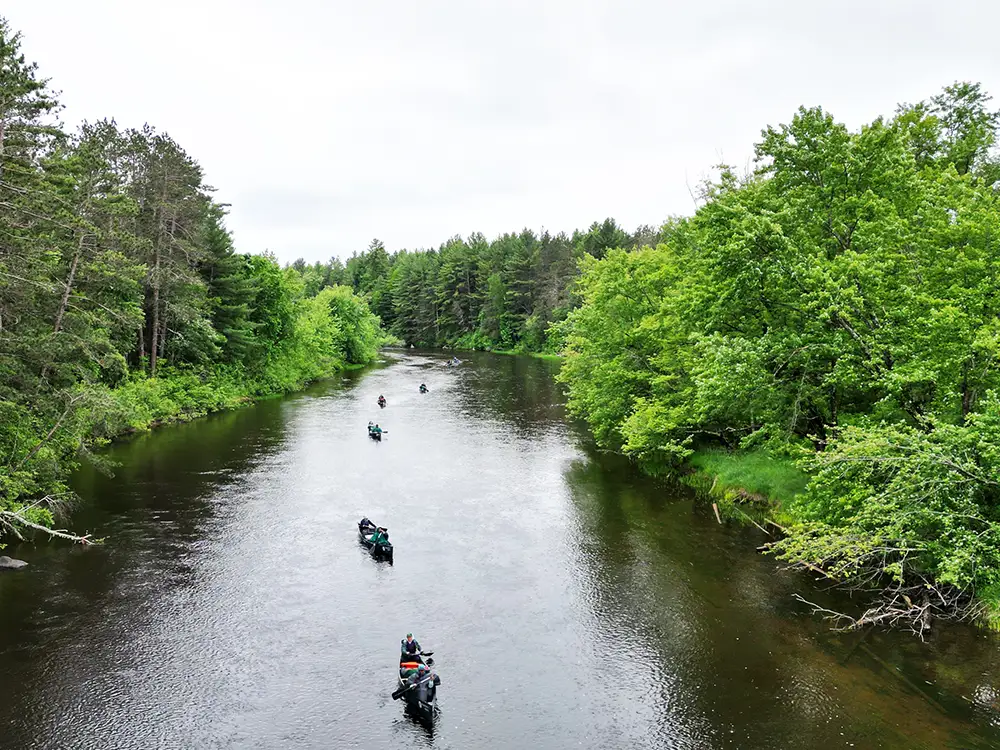
Namekagon River
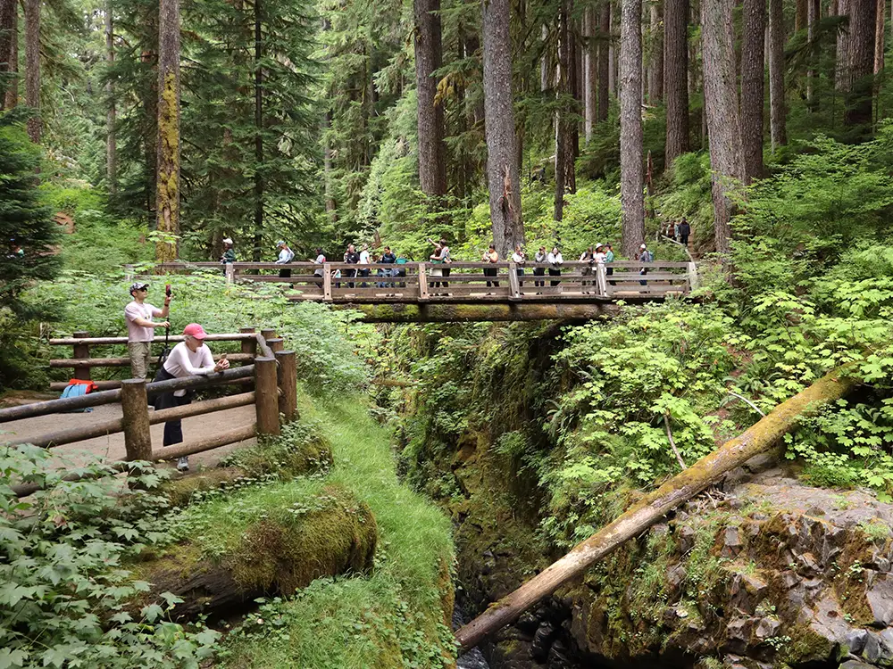
Olympic National Park
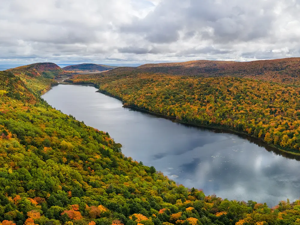
Porcupine Mountains
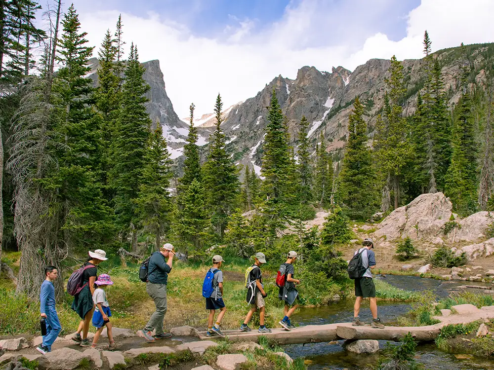
Rocky Mountain National Park
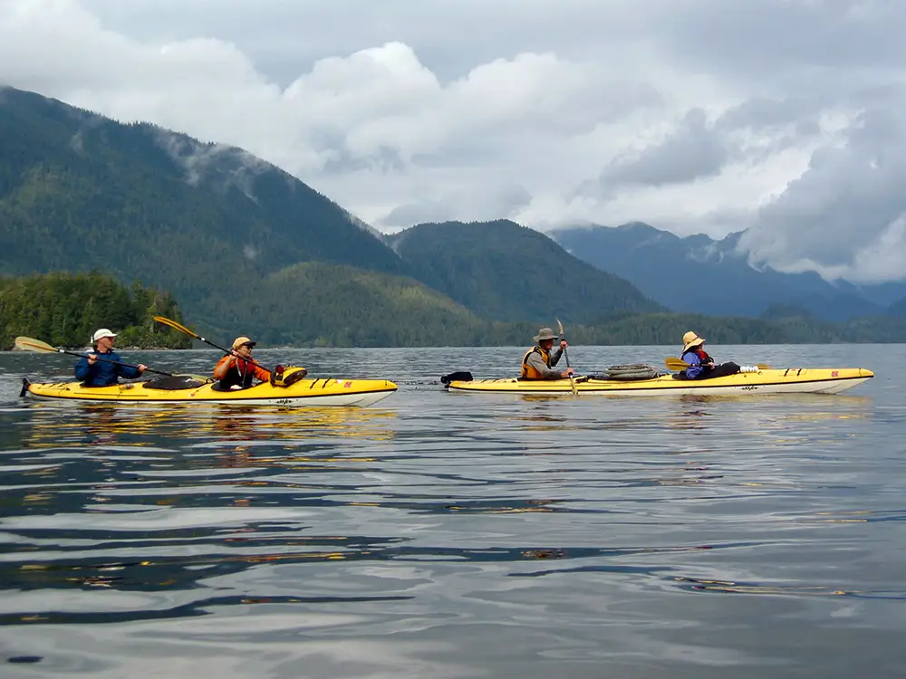
San Juan Islands
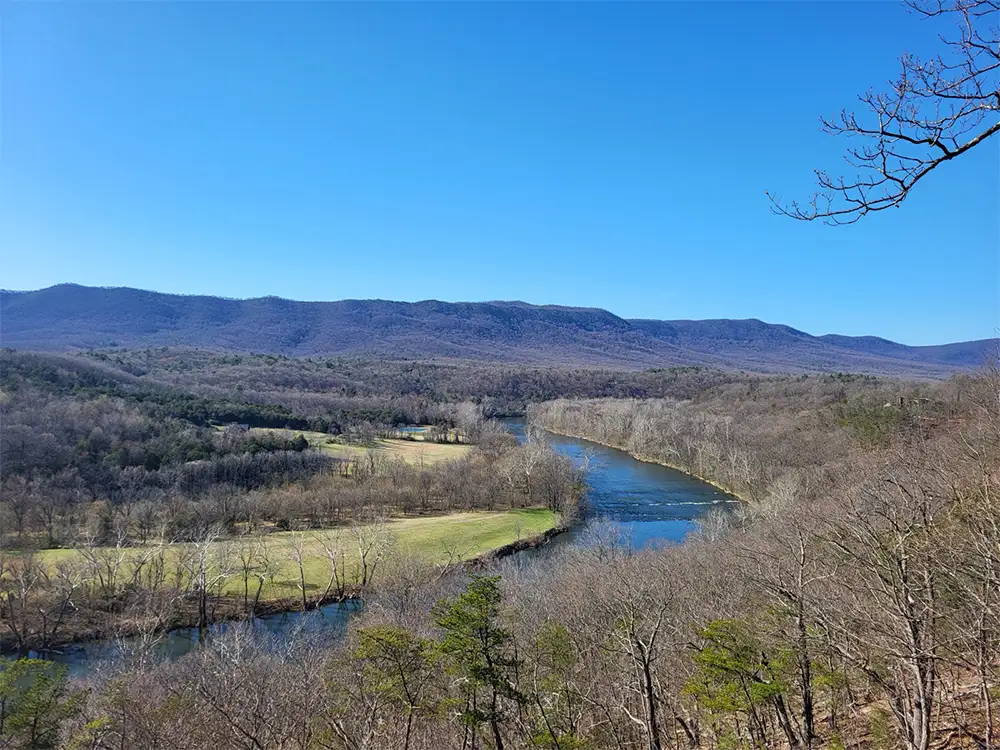
Shenandoah River State Park
St. Croix River
Superior Hiking Trail
Voyageurs National Park
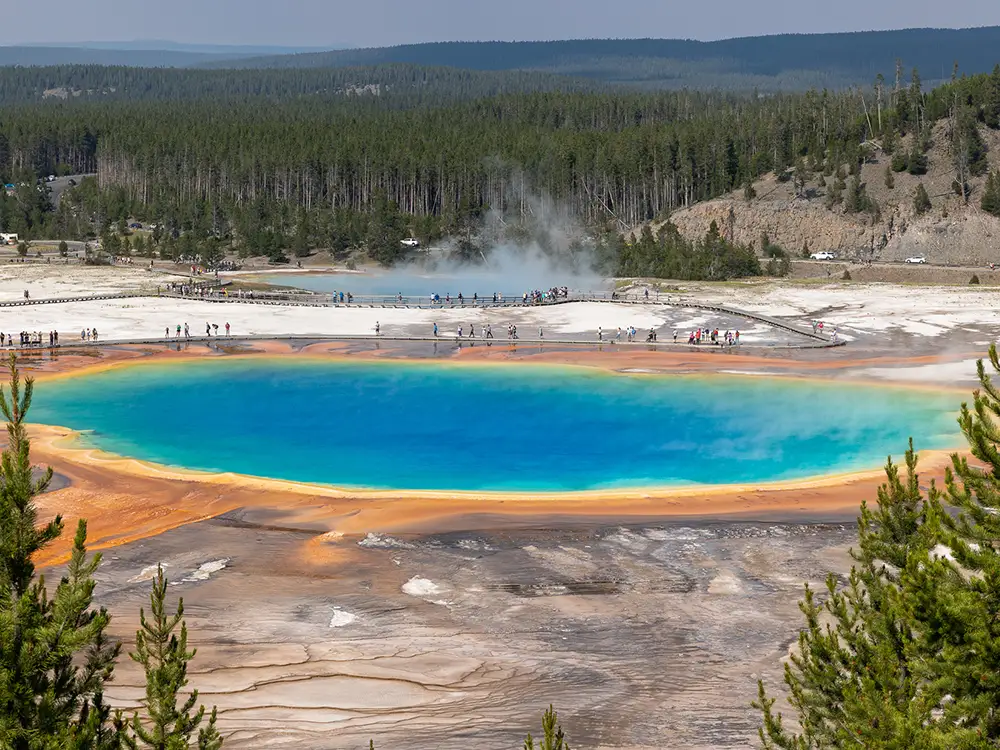
Yellowstone National Park
International
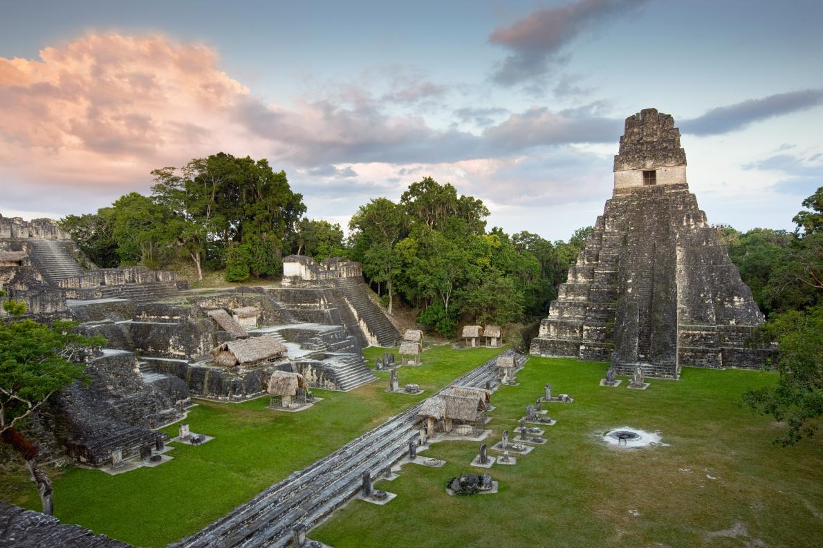
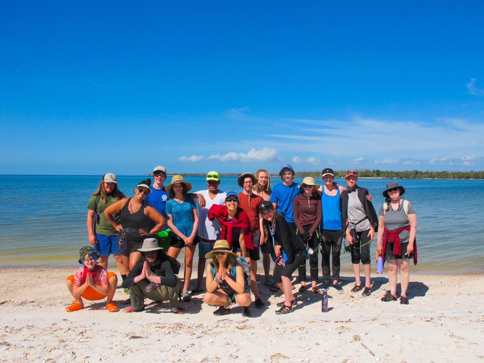
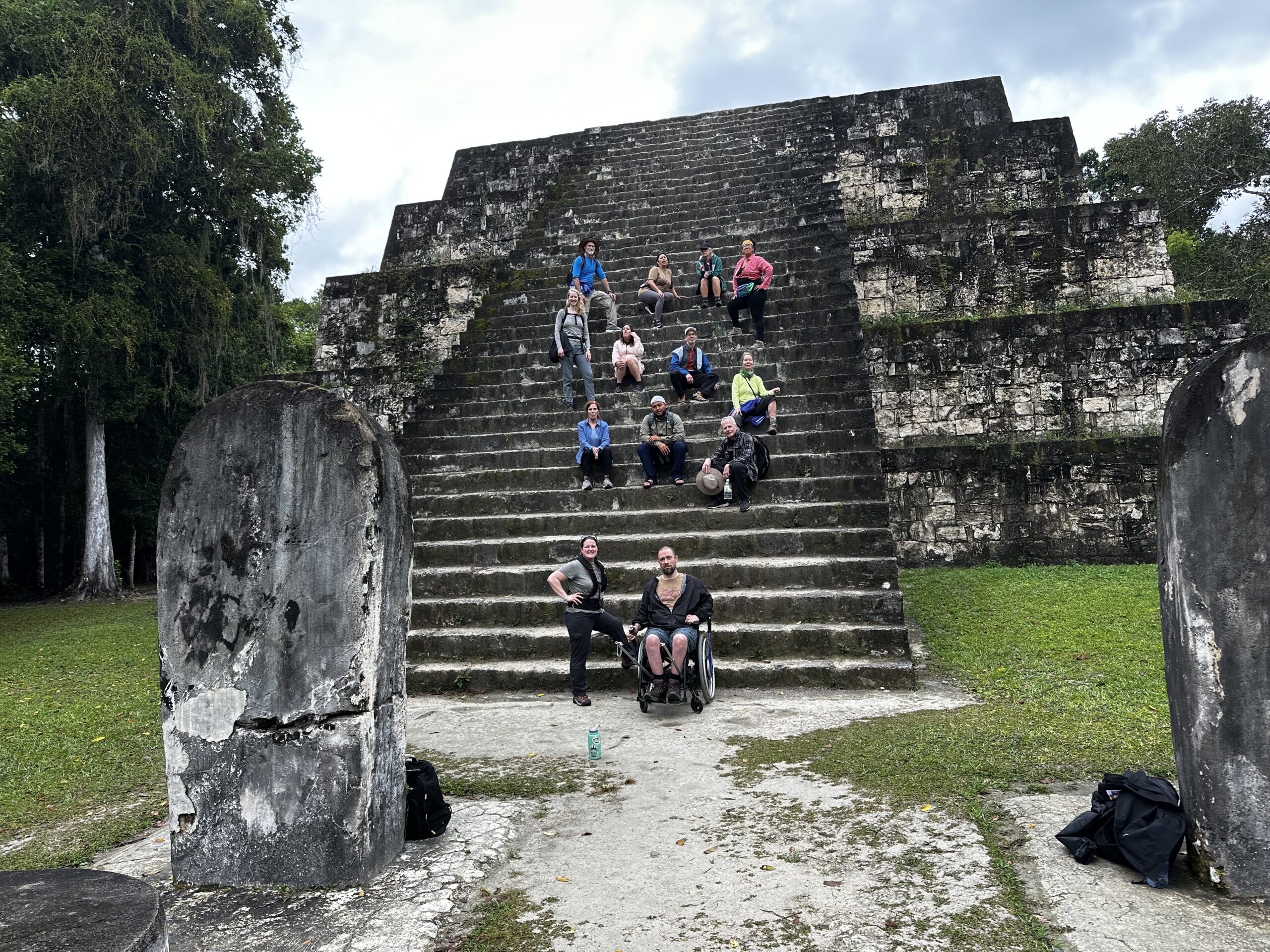
Belize & Tikal
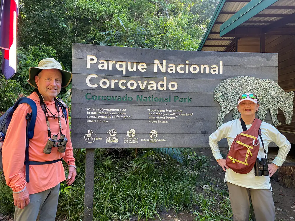
Costa Rica
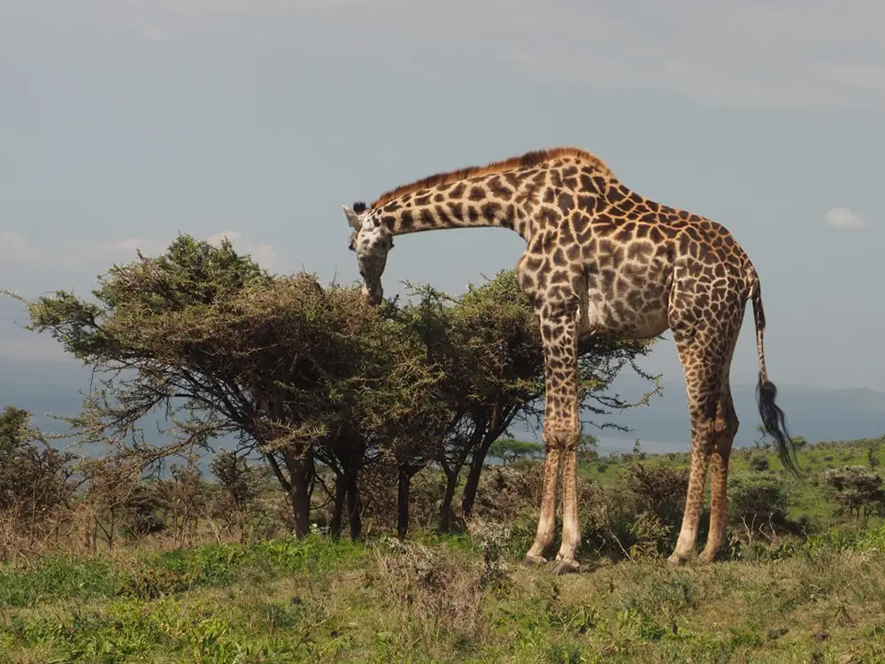
Kenya
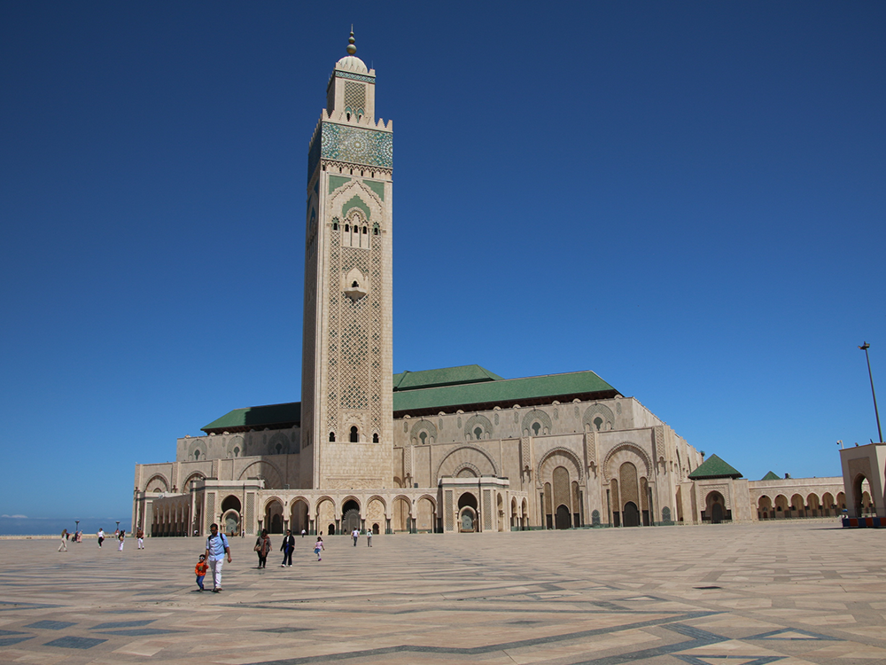
Morocco
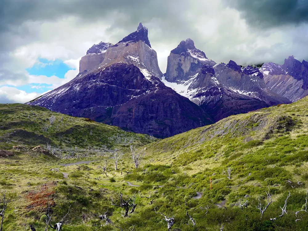
Patagonia
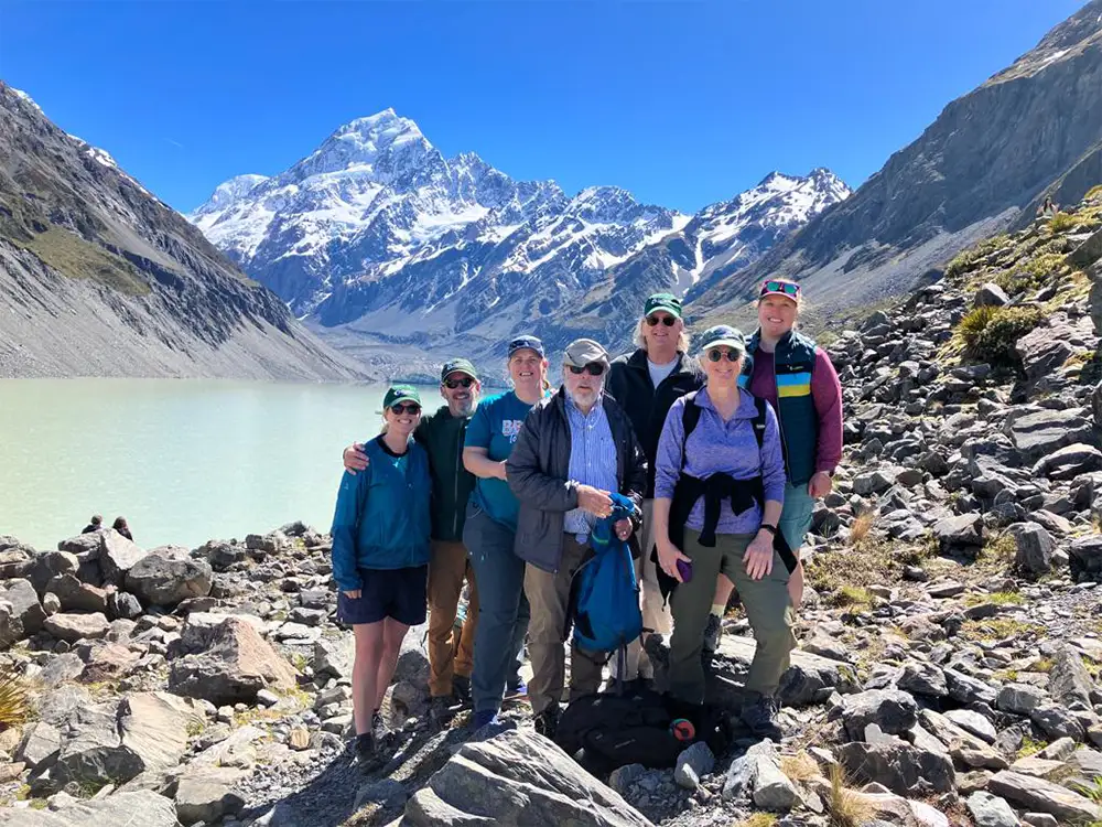
New Zealand
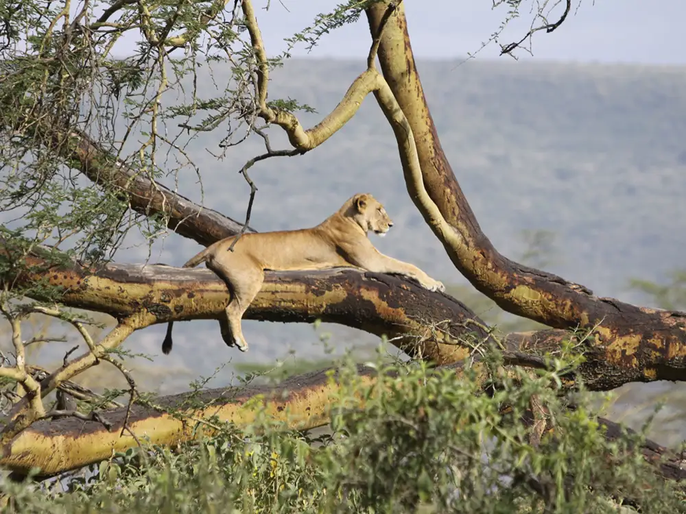
Tanzania
Our Programs
Canoemobile
Outdoor Credit Recovery
Training, Leadership, Careers
Financial Aid
FAQs
Support Us
Donate
Our Impact
Great River Race
Endowment Funds
Merch Store
Volunteer
Subscribe
Trip Finder
Destinations
Home
»
Destinations
Apostle Islands
18 Tours
Arches and Canyonlands
1 Tour
Belize & Tikal
1 Tour
Boundary Waters
9 Tours
Costa Rica
1 Tour
Florida
1 Tour
Glacier National Park
2 Tours
Great Smoky Mountains
1 Tour
Hawaii
1 Tour
International
7 Tours
Isle Royale National Park
3 Tours
Kenya
1 Tour
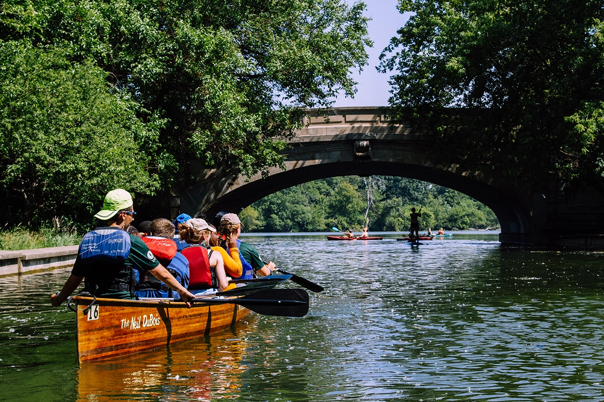
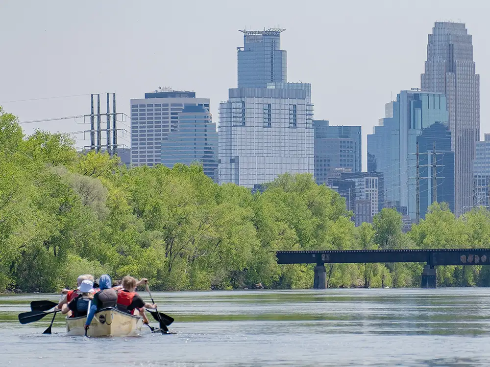
Minneapolis Chain of Lakes
1 Tour
Mississippi River
1 Tour
Morocco
1 Tour
Namekagon River
1 Tour
New Zealand
1 Tour
Olympic National Park
1 Tour
Patagonia
1 Tour
Porcupine Mountains
1 Tour
Rocky Mountain National Park
3 Tours
San Juan Islands
1 Tour
Shenandoah River State Park
1 Tour
St. Croix River
3 Tours
Superior Hiking Trail
2 Tours
Tanzania
1 Tour
USA
55 Tours
Voyageurs National Park
2 Tours
Yellowstone National Park
2 Tours
Login
Username or email
Password
Forgot password?
About Us
Our Story
Our Work
Our Impact
Our Team
Our Partners
News and Media
Contact Us
Ways to Travel
Travelers
Adult Trips
Family Trips
Women’s Trips
Private Group Trips
Activities
Hiking Trips
Paddling Trips
Camping Trips
Lodge-Based Trips
Specialty Trips
Trip Information
Our Travel Experience
Travel Blog and News
Traveling With a Disability
Financial Aid
Purchase Gift Cards
FAQs
Destinations
USA
Arches and Canyonlands
Apostle Islands
Boundary Waters
Florida
Glacier National Park
Great Smoky Mountains
Hawaii
Isle Royale National Park
Mississippi River
Namekagon River
Olympic National Park
Porcupine Mountains
Rocky Mountain National Park
San Juan Islands
Shenandoah River State Park
St. Croix River
Superior Hiking Trail
Voyageurs National Park
Yellowstone National Park
International
Belize & Tikal
Costa Rica
Kenya
Morocco
Patagonia
New Zealand
Tanzania
Our Programs
Canoemobile
Outdoor Credit Recovery
Training, Leadership, Careers
Financial Aid
FAQs
Support Us
Donate
Our Impact
Great River Race
Endowment Funds
Merch Store
Volunteer
Subscribe